Intelligent Vision Solution for Satellite Remote Sensing
Reinvent remote sensing data compression with AI and make every frame of data more efficient and usable.
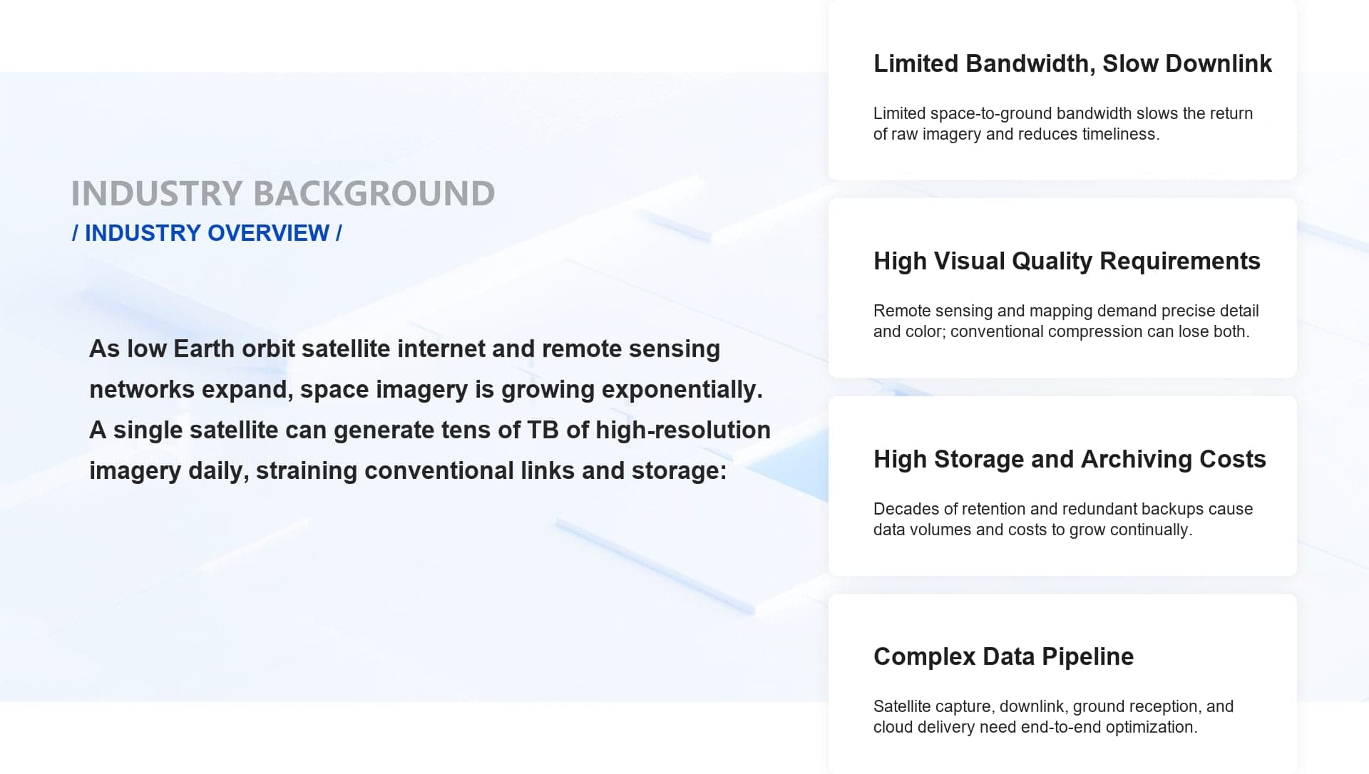
INDUSTRY BACKGROUND
Remote sensing and satellite imagery are key data sources for land resources, agriculture, the environment, and emergency response. Limited satellite-to-ground bandwidth, demanding visual quality, and storage and archiving all pose stringent challenges for image processing:
- Limited Bandwidth, Slow Downlink: Satellite-to-ground links have limited bandwidth, so downlinking high-bitrate imagery is slow and delays time-critical decisions.
- Demanding Visual Quality: Remote sensing applications require precise pixel detail and color fidelity that conventional compression struggles to deliver.
- High Storage & Archiving Costs: Remote sensing data accumulates over long periods and must be kept for decades; the resulting archives are enormous and require tiered management.
- Complex Processing Pipeline: Capture, transmission, tiling, distribution, and cloud services involve many separate stages, with little end-to-end integration.
SOLUTION INTRODUCTION
Intelligent Vision for Satellite Remote Sensing
Built on in-house AI codec, super-resolution, dehazing, and recognition and segmentation algorithms, the solution covers the entire pipeline end to end: satellite capture, satellite-to-ground transmission, cloud decoding, and target recognition. A compression model optimized for remote sensing imagery improves compression performance by more than 30% over conventional algorithms at the same image quality. AI dehazing and super-resolution reconstruction restore key details, while intelligent recognition and segmentation support interpretation across ocean, forest, urban, energy, and other scenarios.
Request a Trial
HIGHLIGHTS OF THE SOLUTION
Results: the same remote sensing image after dehazing, super-resolution, and recognition and segmentation.


SOLUTION VALUE
30% Better Compression
Significantly better compression of remote sensing imagery than conventional algorithms, lowering both bandwidth and storage costs.
Optimized Tile Edges
The AI codec preprocesses tile boundaries to prevent visible seams when tiles are stitched together.
Sensor-Tuned Models
A few sample images, a base model, and fine-tuning yield a compression model optimized for a specific sensor.
Device-Cloud Integration
A full-pipeline solution covering capture, transmission, storage, analysis, and applications.
APPLICATION SCENARIOS

Ocean & Vessel Monitoring

Forest Fire & Ecosystem Monitoring

Urban Operations & Traffic

Energy Facility Monitoring